
Formation
This is your ideal companion for efficient design of earth structures.
At a very affordable price, Muk3D|Formation is the perfect tool for Engineers & Designers who want to efficiently design earth structures, quantify volumes associated with their designs, and communicate with stakeholders.
With a simple-to-use design and robust set of tools, it makes any project easy, from processing & visualisation of large datasets to high-level sizing & volumetrics of earth structures. Even if you’re just making great-looking visuals for reports, Muk3D|Formation lets you achieve your goals in a fraction of the time associated with other civil or mine design tools.

Highlights


Rapid 3D design
Instead of using cumbersome CAD programs, use the fit-for-purpose tools in Muk3D|Formation to enable you to get results in a fraction of the time. Easily import data from various sources and create grids and surfaces in minutes. Use advanced design and visualization tools that allow you to quickly create and edit lines, triangulated surfaces, grids and create contours, cross sections, and volume calculations.
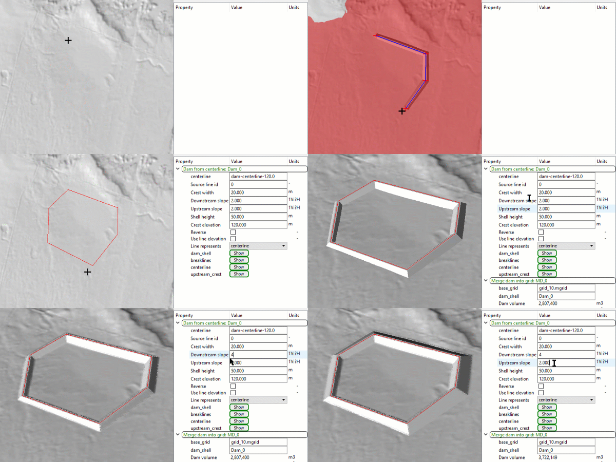
Seamlessly build dynamic models that allow for interactive design and sizing of structures.


Powerful tools in an intuitive, easy-to-use platform
Muk3D|Formation boasts a gradual and short learning curve, so beginners become experts in the shortest time possible.
Easily move data back and forth to CAD and GIS. Complement existing workflows by doing a quick design or calculation and export the results back into your preferred detail design tool, or create a range of earth structures and build basic dynamic models that update themselves when input data/parameters are changed. Simplify tasks using workspace customisation to show only the commands needed for the task at hand. All with complete help sections, tutorials, training and support.


Create stunning visuals
Import and manipulate airphotos, merge image tiles and add new elements to photos. Use better images, including colours, textures, elevation shading, airphotos and isopachs.
Create great-looking images to effectively display earth structures to users, stakeholders and the public.


Automate your workflow with Python
Muk3D allows users to record macros and write their own scripts using Python. With minimal knowledge of Python, create time-saving tools of your own to automate all aspects of the design process. Run sensitivity analysis while your dam sizing, post-process results to summarise and export data, or interface with other programs such as Excel and Powerpoint.

Core Features
Data Import & Gridding Tools
Import data from a wide range of sources and turn into grids/surfaces in minutes
Build Structures
Create a range of structures (dams, dumps, embankments, excavations) quickly & easily
Airphoto Editing
Import & manipulate air photos, merge image tiles, add new elements to photos
Automate Processes with Python
Save time and automate complex processes. Record Macros, adapt the recorded Python script and automate your processes.
CAD Import/Export
Import/export files to/from CAD using DWG files
Basic Dynamic Models
Models that update themselves when input data/parameters are changed. The basic dynamic models include dams and ponds
Create Great Images
Define different visual styles to apply to different elements including colours, textures, elevation shading, airphotos, isopachs
3D CAD Tools
Comprehensive toolkit for creating and editing lines, triangulated surfaces, and grids. Volume calculations, create contours, cross sections annotate data, and query geometry
Zonation Calculations
Create zones within a dam cross section and calculate volumes rapidly
Pond & Surface Water Hydrology
Delineate watersheds, calculate areas vs elevation for watersheds, storage-elevation-liner area curves, flood routing through ponds
